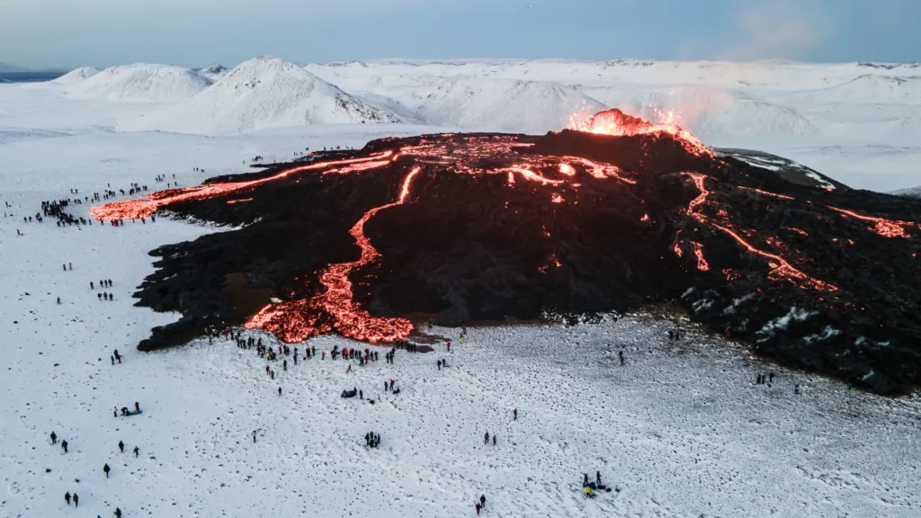
The Icelandic Meteorological Office (IMO) released a statement “At 5:30 this morning an intense seismic activity started north-east of Mt. Sylingarfell. Around 30 minutes later, a volcanic eruption started at the site.”
It happened close to the fishing community of Grindavik, in the same region as two earlier eruptions, the first on December 18 and the second on January 14.
It was also based on an initial assessment from a flyover by the Coast Guard, the fissure was about three kilometers (two miles) long, the IMO added.
Grindavik was evacuated on November 11th, following hundreds of earthquakes that caused structural damage and large road fissures.
The second eruption created two cracks, the second of which appeared just on the town’s edge. Orange lava flowed into the streets, destroying three homes and turning them to ashes.
For the past few months, Grindavik’s future has been clouded by uncertainty due to the volcanic outbursts.
The Reykjanes peninsula had not seen an eruption in eight centuries until March 2021.


